A short history
The area was part of the Peters Colony land grants. Comfort and Lydia McMillen arrived from Arkansas in 1846 and settled on a branch of Muddy Creek, later renamed Maxwell Creek after Lydia's brothers, James and Henry Maxwell, who came with them. By 1850 William and Dorothy Murphy's family had also settled along the creek.
The settlement went through several names. It was first known as Maxwell or Maxwell's Creek, then Decatur. When a post office was needed in the 1870s and Decatur was already taken elsewhere in Texas, it became Maxwell's Branch. In 1888 the town was renamed Murphy after William Murphy, who donated land for the railroad depot. For the next several decades the railroad shipped cotton, corn, and onions out of Murphy.
The Old Murphy School was built in 1938 as a Works Progress Administration project. The school and post office closed in the 1950s, and by 1970 the population was about 136, with students attending school in Plano. The city was officially established on September 29, 1958, at about a quarter of its current size, according to the City of Murphy and the 2026 Master Plan.
Suburban development came in stages. The Master Plan identifies Skyline Acres and Willow Wood Estates as among the earliest subdivisions in the 1970s, and The Timbers as a sign of the development pressure that arrived in the mid-1980s. The city adopted its first master plan in 1973.
The President George Bush Turnpike changed the city's trajectory. After it opened through Plano and Richardson around 1999 and 2000, retail followed along FM 544 and subdivisions filled in quickly. Census counts show the jump: 3,099 residents in 2000, 17,708 in 2010, and 21,013 in 2020. The Master Plan reports that 63 percent of Murphy's housing was built between 2000 and 2009.
Several pieces of the older town remain. The 1938 school reopened as the Murphy Community Center in 2012. The century-old First Baptist Church of Murphy building was moved in the mid-2000s to save it from demolition along FM 544, and four pioneer family cemeteries, including the Maxwell and Hogge cemeteries, are still in place.
How the city is laid out
Two features organize Murphy.
FM 544 runs east and west through the middle of the city and carries most of its commercial activity. The city and its economic development corporation call this stretch The Corridor. The Master Plan reports nearly 55,000 vehicles per day on FM 544 and about 1.72 million square feet of retail and office space citywide, with occupancy near 98.5 percent. FM 544 is a TxDOT road, so the city does not control its design directly.
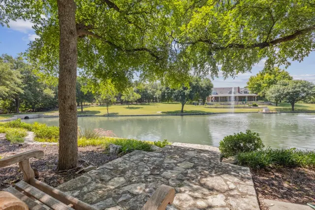
Maxwell Creek runs north and south through the city. Its greenbelt holds much of the trail system and several parks, and it acts as a physical edge between neighborhoods on either side. East-west crossings of the creek are limited, which is why the Master Plan gives priority to a lighted trail bridge at FM 544 and Maxwell Creek. That bridge is not yet built: bids opened in April 2026 came in at $5.6 million to $6.5 million, over budget, and in October 2026 the City Council postponed a rebid until it takes up the project again in 2027.
North Murphy Road is the main north-south street and holds the civic core: City Hall and the municipal complex at 206 N. Murphy Road, Murphy Central Park at 550 N. Murphy Road, Murphy Middle School, and McMillen High School. Betsy Lane, McCreary Road, Maxwell Creek Road, Heritage Parkway, and McMillen Road connect the neighborhoods to the corridor.
According to the Master Plan, about 70 percent of the city's land is residential, 16 percent institutional (schools, City Hall, Central Park, and similar uses), 8 percent commercial, and 3 percent vacant.
Housing in brief
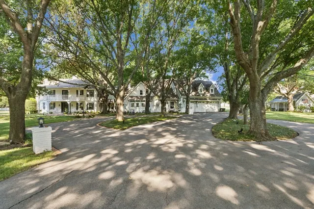
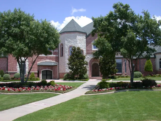
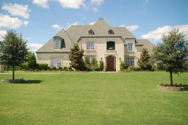
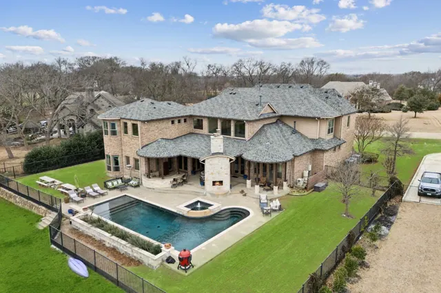
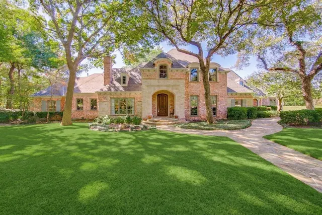
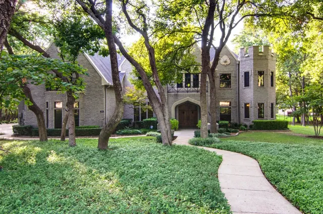
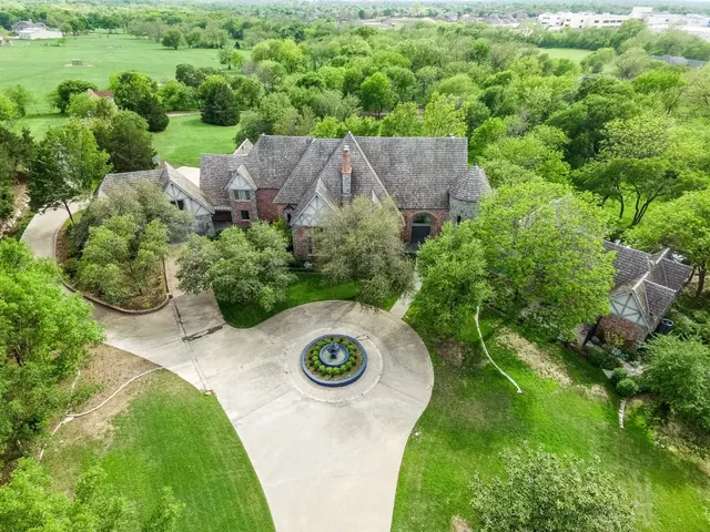
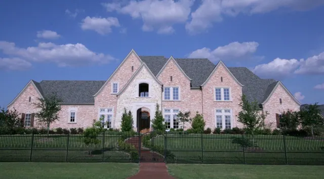
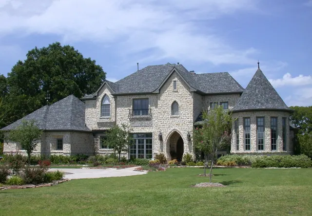
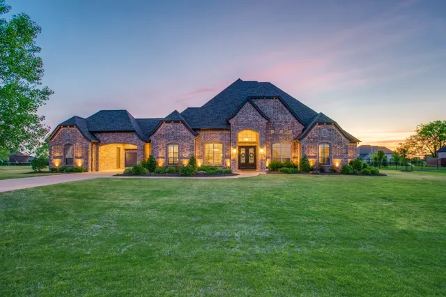
Murphy is almost entirely single-family. The Master Plan counts about 6,159 housing units and reports that roughly 94 percent are owner-occupied. Collin Central Appraisal District's 2026 roll lists 6,033 single-family homes inside city limits, with a median lot of 0.27 acre, a median of 3,199 square feet, and a median 2026 certified market value (appraisal) of $585,000. Most subdivisions date from the late 1990s through the early 2010s, with typical lots of about a quarter to a third of an acre. A few small infill communities are under way, including Crescent Hill by Toll Brothers on FM 544 at South Maxwell Creek Road. See the neighborhoods, luxury homes, and new construction pages for detail.
Schools at a glance
Murphy is split between two school districts, and the line runs through the middle of the city. Which district serves a home depends on the address, not the ZIP code.
- Plano ISD serves about 62 percent of Murphy's homes. Its campuses inside Murphy include Boggess Elementary, Hunt Elementary, Murphy Middle School, and McMillen High School (grades 9 and 10). Students continue to Plano East Senior High School in Plano.
- Wylie ISD serves about 38 percent of Murphy's homes, in the northeast (Maxwell Creek North and the North Hill subdivisions) and in several subdivisions in the south of the city. Tibbals Elementary, inside Maxwell Creek North, feeds Draper Intermediate, Cooper Junior High, and Wylie High School under the district's 2026-27 feeder pattern.
In the 2026 TEA accountability ratings, Plano ISD received a B (85) and Wylie ISD received an A (92). Campus ratings, programs, and feeder details are on the schools page. Always confirm zoning with each district's own locator.
Getting around
- Roads: FM 544 connects Murphy to Plano and the President George Bush Turnpike on the west and to Wylie on the east. North Murphy Road runs north toward Parker. The turnpike, a toll road, is the main route to US 75, I-635, and the rest of the region.
- Transit: Murphy is not a DART member city, and there is no DART service inside city limits. The nearest rail is in Plano, including Parker Road Station on the Red and Orange lines and Shiloh Road Station, the eastern end of the Silver Line, which opened October 25, 2025, and runs to DFW Airport.
- Airports: The City of Murphy puts DFW International about 35 miles away and Dallas Love Field about 25 miles away.
What is nearby
- Southfork Ranch is about 2 miles north, at 3700 Hogge Road in Parker.
- Breckinridge Park in Richardson connects to Murphy's trails through Timbers Nature Preserve Park.
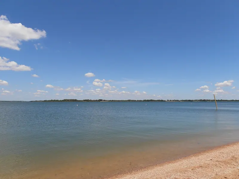
- Lavon Lake and Lake Ray Hubbard are each about 15 minutes away, according to the Master Plan.
- Oak Point Park in east Plano hosts the annual Plano Balloon Festival.
- Downtown Wylie, with its historic buildings along Ballard Avenue, is a short drive east on FM 544.
City services
The City of Murphy provides water, wastewater, and trash service, with trash and recycling collected by Republic Services under a city contract. Police and fire are city departments based at the municipal complex. The city maintains about 106 miles of streets and 159 miles of sidewalks, according to the Master Plan. The moving to Murphy page covers utilities, deposits, taxes, and permits.
Sources (14)
- U.S. Census Bureau QuickFacts: Murphy city, Texas
- City of Murphy: History
- City of Murphy: 2026 Murphy Master Plan (adopted March 10, 2026)
- Wikipedia: Murphy, Texas (census history, government)
- City of Murphy: Murphy Central Park and Amphitheater
- City of Murphy: Timbers Nature Preserve Park
- City of Murphy: Trash and Recycling
- Texas Education Agency: 2026 Accountability Rating System
- Wylie ISD: District Feeder Pattern, effective 2026-27
- Wikipedia: Silver Line (DART)
- Collin Central Appraisal District parcel layer, 2026 certified values (hosted by the City of Allen GIS)
- Murphy Monitor: "Pedestrian bridge bids were over budget" (July 30, 2026)
- Murphy Monitor: "Murphy to discontinue Flock cameras" (October 6, 2026; bridge rebid delayed)
- Southfork Ranch
Last reviewed October 2026. See something out of date? Email info@grisak.com.